Moonrise Loop
This 6.2 km walk in Western Sydney Parklands offers bluebells, wildlife, birdwatching, and fresh air.

6.2 km
1 hour 30 minutes – 2 hours
Entrance: Via Saxony Road, Abbotsbury
This challenging 6.2 km walk takes in many of Western Sydney Parkland’s greatest sights. Marvel at the fields of tall bluebells, that appear any time throughout the year after rain. Say hello to the inquisitive kangaroos and wallabies, do a spot of birdwatching, lie back and watch the clouds float by, or simply love the fact that you’re out in the fresh air.
| Moonrise Loop features | |
|---|---|
| Suitable: | Walking, running |
| Surface: | Sealed and unsealed pathways |
| Grade: | Grade 3. Suitable for most ages and fitness levels. (See below for more information on track grading.) |
| Lookouts: |
|
| Facilities: |
|
| Getting there: | You can start this walk at Lizard Log, Moonrise, the Dairy or Sugarloaf. The best way to get there is by car. There is parking at all start locations. At Sugarloaf Ridge there is street parking. For local residents you can also walk or run into the parklands. The trail starts and finishes at either Lizard Log, Moonrise Lookout, or the Dairy. |
How a track gets its grade
The grading system assesses a walk’s difficulty based on several criteria, including: experience required, steps, gradient, path quality, and signage. A walk’s final grade is based on the most difficult of these 5 criteria, rather than an average. So some walks will have criteria that meet an easier grade.

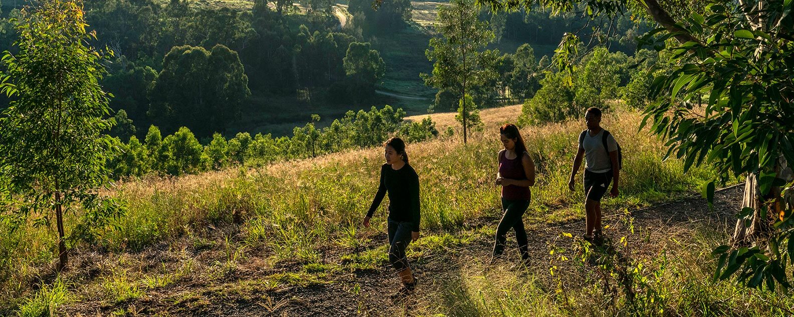
A group of people on the Moonrise Loop hike. 
A group of people walking up hill with the sun glowing amidst the horizon. 
A woman enjoying the Moonrise Loop trail. 
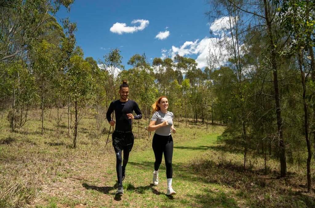
People jogging on the Moonrise Loop trail.